
Topographical Surveys
This information gathered on site is then brought into specialist survey software to be processed and form a digital terrain model (DTM).
From this, contouring can be applied to the model prior to being exported to a CAD software program where the Digital 2D & 3D plans are created.
The Topographical Survey is usually requested by an Architect/Landscape Architect, Civil/Structural Engineer, Lawyer or Solicitor, Hydrologist, Arboriculturists & Local Authority Flood Team/Roads/Planning Departments.
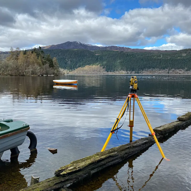
The Topographical Survey plan is used/required in a variety of instances, including, to form the basis for primarily proposed design, Landscaping Plan, an extension to a property, a new build, as an built record of what been constructed, a title plan or fue plan for the purpose of the sale of the site or property or the investigation of a boundary to resolve a dispute or to establish the boundary position.

At Caintech we have a large team of surveyors with a great deal of knowledge and experience working with private, domestic, and commercial clients. This experience has been invaluable in us being able to understand the exact requirements of our clients. We pride ourselves on being reactive, efficient, and cost effective to bring projects in on budget at the early stages. We work closely with clients and design teams to ensure that all aspects of our work can be utilised not only in the early stages of a project but also lead on to assist in the completion of projects.

If you’re unsure whether you need a Topographical Survey or Land Survey, please do get in touch with us and we would be more than happy to talk through your requirements and provide impartial advice.