HYDROGRAPHIC SURVEYS

What is a hydrographic Survey?

A Hydrographic Survey is the survey of any waterbody. This can be Reservoirs, Rivers, Lochs Canals, the open sea etc etc.

Caintech use a combination of manned and unmanned vessels to carry out this operation. Fitted to these vessels can be a range of survey equipment and sensors.

The vast majority of our works involve the use of either a Norbit Multibeam Sonar or an Ohmex singlebeam sounder. When discussing the specification for the works with the client, we will ensure that their requirements are catered for with the use of the most suitable survey technique.

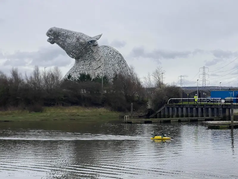
Kelpies

What is the difference between Single and Multibeam Sonars?

Singlebeam Sonar only takes a single depth below the hull, this is typically used where the client is wanting a waterbody surveyed that does not need to identify every single feature and the survey is more a general layout, we would agree a line spacing for the boat to travel on, IE, 5m 10m etc. This is the horizontal distance between each survey run undertaken with the boat. The smaller the line separation, the higher the accuracy but longer time to undertake the survey. Where there is a high risk of shallow draft incurred, this technique may be employed due to the price difference in comparison to the multibeam systems.
Multibeam sonar gathers a colossal amount of data, each and every stone on the bed of the waterbody is surveyed in detail. Typically, we will survey a width (or swathe) below the vessel of 3x the depth of waterbody. So if we are in 5m of water, the surveyed data will be 15m wide. This means you can quickly gather a huge amount of detail. There is however, considerably more processing required compared to singlebeam.

On board footage from our USV Sophie in rough waters.